
Higher than I’ve gotten yet with my quadcopter-mounted GoPro. And I have to admit my heart was in my throat at times as I looking way into the sky and, squinting, could pick out my quadcopter just barely flying around taking photographs of the incredible afternoon light.
-
- 1.

-
- 2.

-

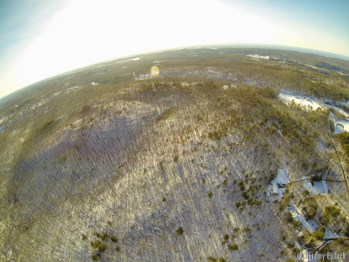
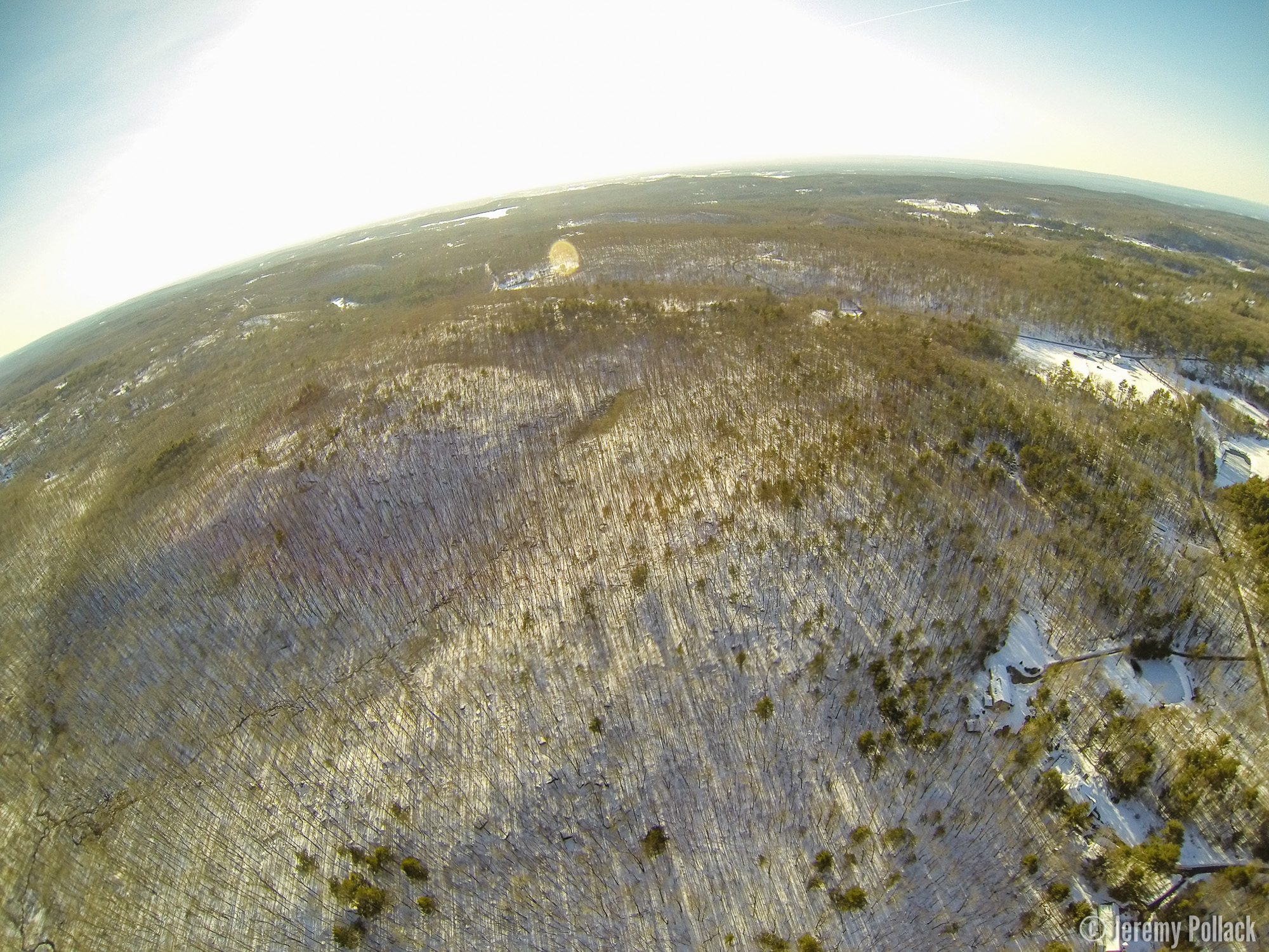
- 3.
-
- 4.
-
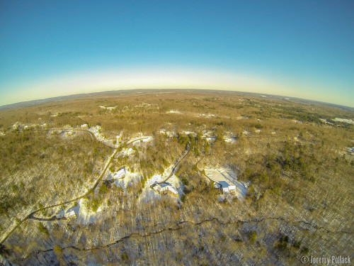
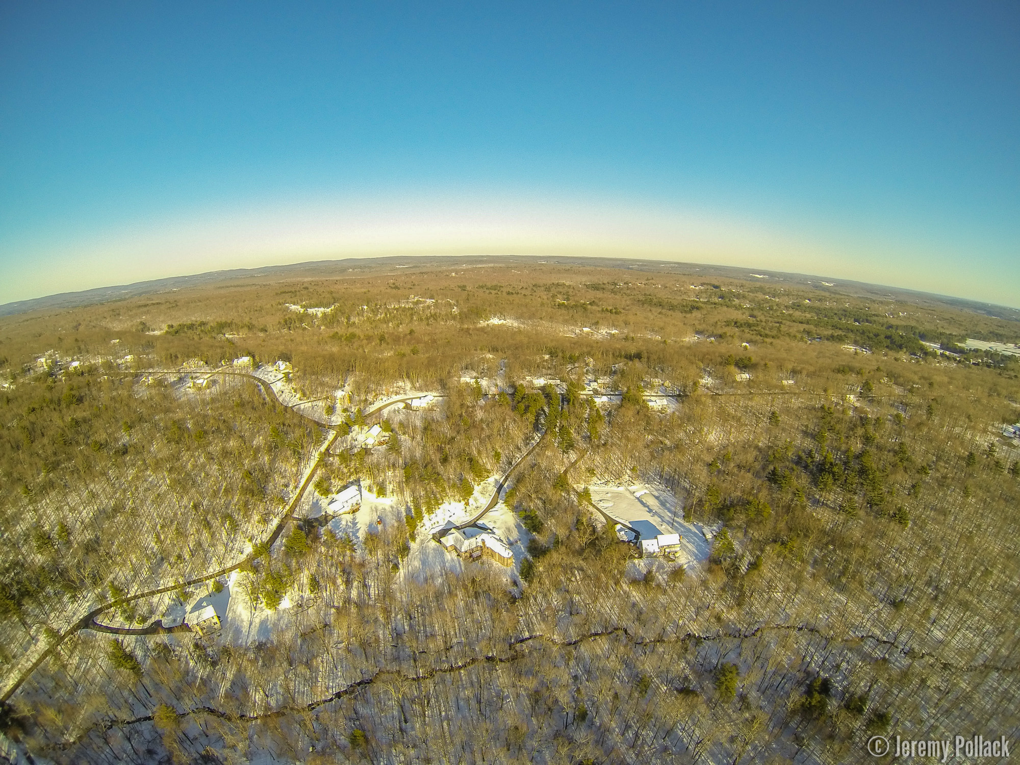
- 5.

-

- 6.
-
- 7.
-
- 8.

-
- 9.

-
- 10.

-
- 11.
-
- 12.
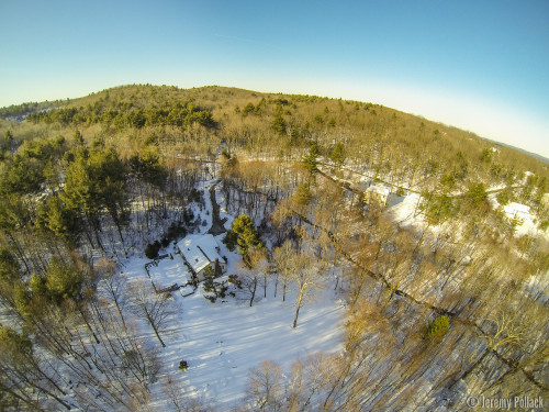
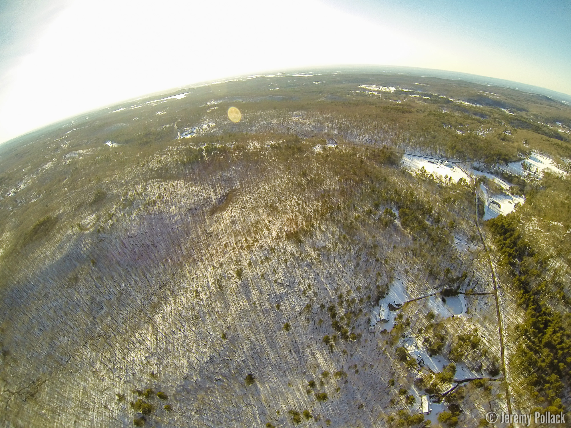
- Looking west back at my house.
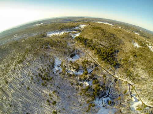
- Looking northwest as Crystal Lake comes into view.
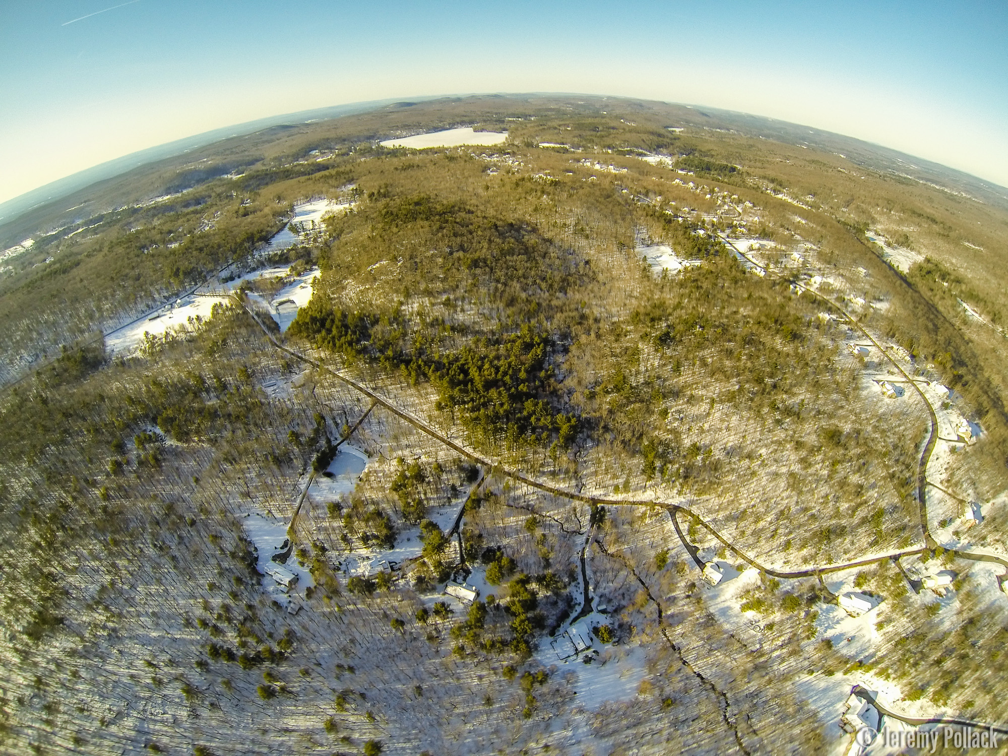
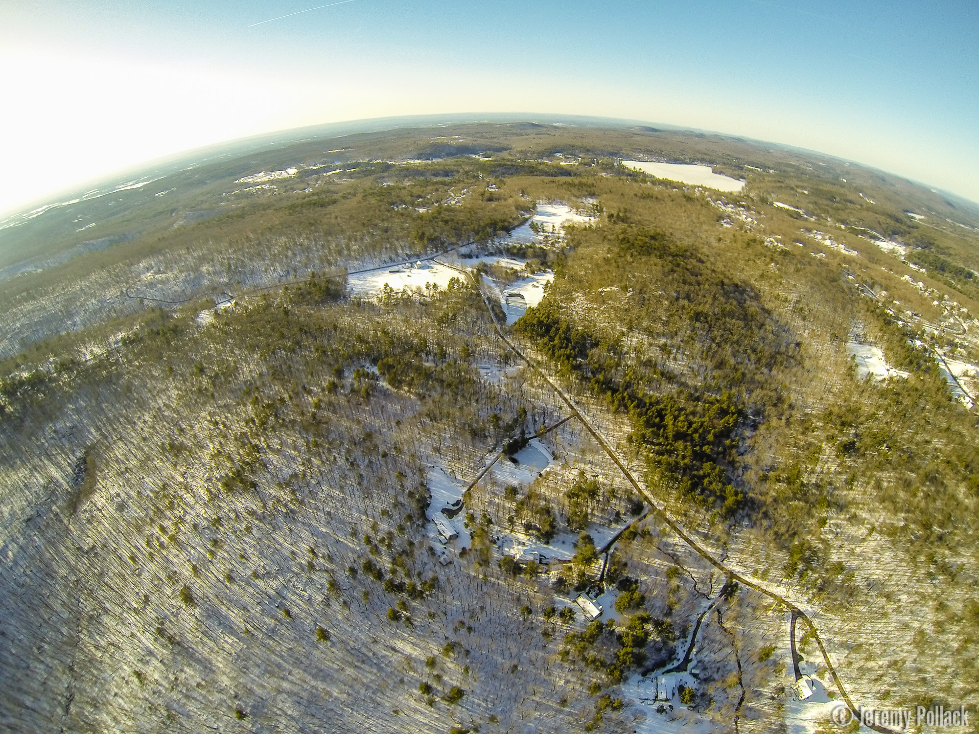
- Looking north with Crystal Lake and all of Kendall Mountain Road and more in view. The headwaters of the Skunkamaug River meander down the mountain’s eastern (right) side.
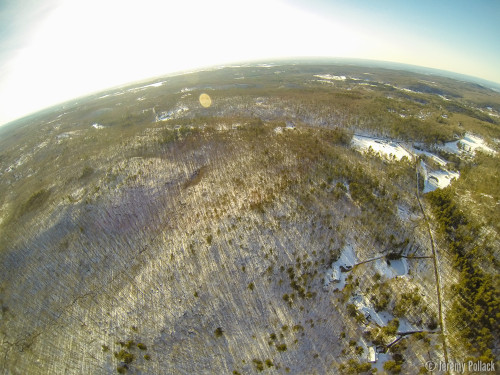
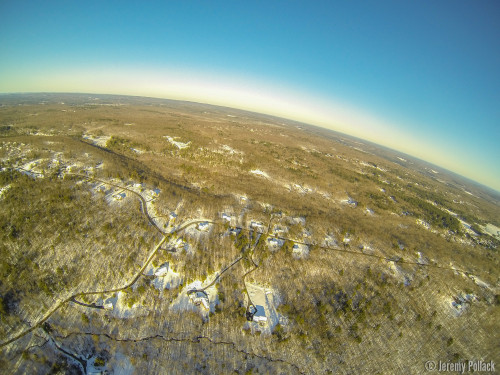
- Looking west towards Ellington. Sugar Hill Road in the midground with the Schindler/Schmidt Conservation Area on the left.
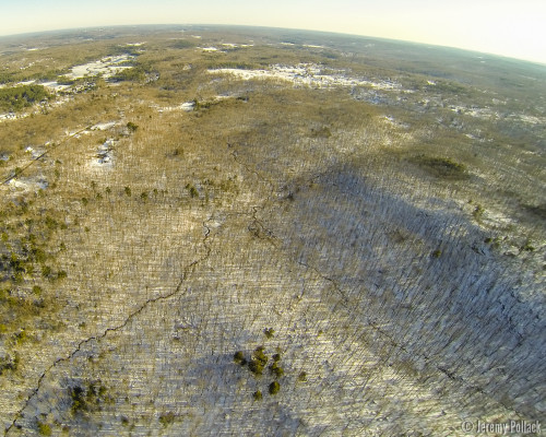
- Looking south towards the center of Tolland, I84 and more. You can follow the Skunkamaug River coming in from the lower left.
- Looking northwest again, Crystal Lake clearly visible and beyond the edges of Tolland down into the Ellington valley.
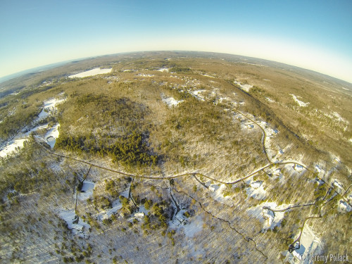
- Looking a little west of south at the entirety of the Schindler/Schmidt Conservation Area.
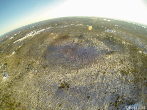
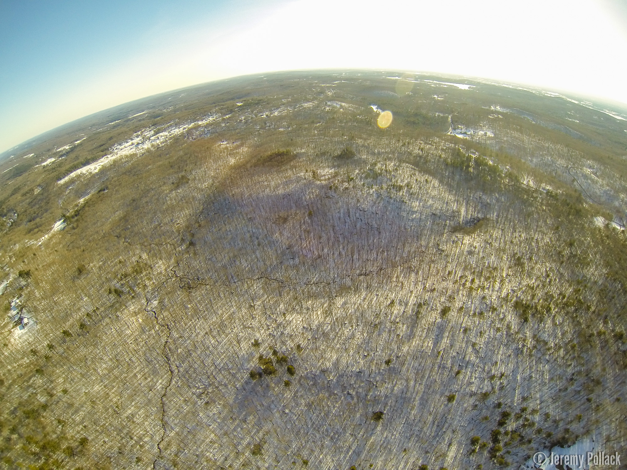
- A closer look south at the Skunkamaug’s meanderings.
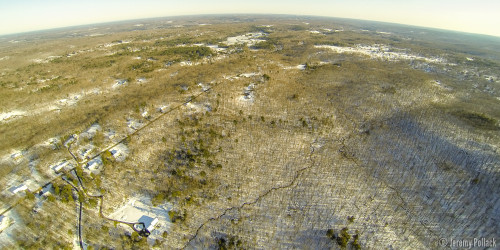
- Looking due east past Cook and Wildwood roads, with Neff Hill and Ladd Rds down the escarpment. Well off in the distances is the low point that I84 runs through.
- Northeast with Crystal Lake in the upper left and all of the Kendall Mountain area in view.
- Due east again from a lower altitude.
- Last look east from even lower, with the Skunkamaug in the foreground and the ability to discern the nearby escarpment has changed, but the distance ridges are now visible.
About The Author: Jeremy
More posts by jeremy